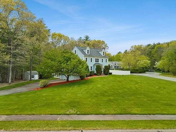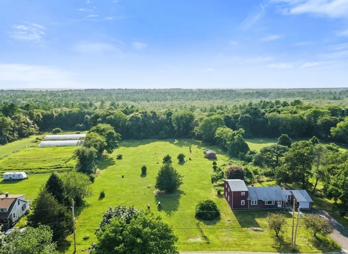
If you’ve driven through Rochester, Massachusetts, you’ve probably noticed something right away. There’s a lot of open land here.
You see wooded roads, old stone walls, working farms, cranberry bogs, ponds, fields, barns, and homes set back from the road. It doesn’t feel like a town that was built all at once. And it wasn’t.
Rochester’s rural landscape is the result of more than 300 years of farming, forestry, milling, cranberry growing, changing town boundaries, and careful land preservation. Even as the town has grown, many of the features created by those earlier generations are still part of the landscape today.
If you’re wondering why Rochester still feels so rural, its history gives you a pretty good answer.
Rochester Started as a Much Larger Community
Long before European settlement, the area was home to Wampanoag people. The region was known as Sippican and had the natural resources people needed to live here, including forests, waterways, ponds, and fertile land.
European settlement began in the late 1600s. In 1679, land that would become Rochester was purchased as part of the Sippican Grant. Rochester was officially incorporated on June 4, 1686.
At that time, Rochester was much larger than it is today.
The original community included areas that eventually became Wareham, Marion, and Mattapoisett. Wareham separated from Rochester in 1739. Marion followed in 1852, and Mattapoisett separated in 1857. Those changes dramatically reshaped the town.
There’s an interesting connection between those changes and Rochester’s landscape.
When Rochester lost its coastal areas, it became an inland community. The town’s identity gradually became more closely tied to its farms, forests, ponds, waterways, and rural roads.
That character is still easy to see today.
Farming Helped Shape the Land
Rochester’s early economy depended heavily on agriculture.
Farmers grew crops and raised livestock, but they also produced goods such as wool, cheese, butter, meat, honey, fruit, and other products for trade. Local farmers sold surplus goods beyond their own households, connecting Rochester with other communities in southeastern Massachusetts.
The land itself influenced where people farmed.
Higher, more accessible ground was generally better suited to farms. Wetlands and rocky areas were harder to cultivate and were often left as woodlots or undeveloped land.
That pattern helped create something we still recognize today: fields mixed with forests and wetlands rather than one continuous stretch of development.
If you’ve ever wondered why Rochester has so many wooded stretches between homes and farms, this is part of the reason.
The landscape wasn’t designed by a planner. It developed around what the land could support.
Stone Walls Tell Part of the Story
One of the easiest ways to see Rochester’s agricultural history is to look at the stone walls.
You’ll find them along roads, through wooded areas, and around old fields.
Much of southeastern Massachusetts was shaped by glaciers. As the glaciers moved across the region, they left behind rocks, gravel, sand, ponds, and other features that became part of the landscape.
Those rocks became useful building material.
Farmers cleared stones from fields and used them to build walls around their property and fields. Over time, those walls became permanent reminders of where earlier farms and pastures once stood.
So when you pass an old stone wall in Rochester, you’re not just looking at a pretty New England feature.
You may be looking at the remains of an old agricultural boundary.
The Rivers and Ponds Were Important, Too
Water has always played a major role in Rochester’s history.
The town has numerous ponds, streams, wetlands, and waterways. The Sippican and Mattapoisett Rivers are two of the major rivers connected to the community.
Those waterways weren’t simply scenic places.
They provided water power for mills.
At one point, Rochester had dozens of mills, including sawmills, gristmills, fulling mills, and forges. The town’s forests supplied lumber, while its waterways helped power the industries that processed it.
That connection between water, forests, and industry helped shape the rural landscape we see today.
Forests were cleared in some areas for farms. Other areas remained wooded because they were difficult to farm or because the timber itself had value.
Over time, the result was a patchwork of fields, forests, wetlands, ponds, and developed areas.
Cranberries Became a Big Part of Rochester’s Story
If there’s one crop that stands out when people think about Rochester today, it’s probably cranberries.
And there’s a good reason for that.
Rochester has the kind of natural conditions that cranberries need. The area has acidic peat soils, sand and gravel, water, wetlands, and a growing season that works well for cranberry production.
Cranberry cultivation became an important part of the local agricultural economy during the 19th century.
The Rochester Historical Society credits Dr. Caleb Briggs with playing an important role in the development of the local cranberry industry. By the late 1800s, Rochester had several cranberry companies and cultivated bogs.
Cranberries changed the landscape in a noticeable way.
Wet areas that were difficult to use for traditional farming could be developed into bogs. Gravel and sand were also used in the development of cranberry-growing areas.
That’s one reason Rochester has such a distinctive mix of forests, wetlands, fields, and cranberry bogs.
And you can still see the connection today.
In the fall, cranberry bogs can add a completely different color to the landscape as the berries ripen and harvest season begins.
The Landscape Changed as Rochester Grew
Rochester remained relatively slow-growing for much of its history.
That changed during the 20th century.
The automobile made it easier for people to travel farther from traditional town centers. Roads were improved, residential development expanded, and eventually more homes were built on land that had previously been used for farms, forests, or open space.
The biggest period of development came after World War II.
According to the town’s planning documents, Rochester more than doubled its population between 1945 and 1979. More than 400 buildings were constructed during the 1970s alone.
That’s a major change.
But Rochester didn’t lose its rural identity.
A lot of the older settlement pattern remained. Historic homes, barns, fields, wooded areas, cranberry operations, ponds, and winding roads continued to shape the community.
That history helps explain what makes Rochester feel different from a more heavily developed suburb. Growth happened, but much of the open land and older landscape remained part of the town.
Why Rochester Still Feels Rural Today
Rochester covers about 36 square miles, with most of that area consisting of land rather than water. The town remains heavily influenced by forests, waterways, agricultural land, and open space.
The town has also made an effort to protect that character.
Rochester adopted a Right-to-Farm bylaw in 2012. The bylaw supports agricultural activity, encourages agriculture-based economic opportunities, and helps protect farmland.
The Conservation Commission has also played a long-term role in protecting forests, wetlands, waterways, agricultural landscapes, wildlife habitat, and open spaces. The commission was established in 1964.
There are also protected properties that help keep important pieces of the historic landscape intact.
East Over Reservation is a good example. Its fields, stone walls, farm buildings, woods, wetlands, and nearby cranberry bogs give you a pretty clear picture of what a working South Coast landscape can look like.
The Stephen C. L. Delano Memorial Forest is another example of land that helps preserve Rochester’s rural character, with woods, old cart paths, ponds, farmland, and cranberry bogs forming part of the landscape.
What You’re Seeing When You Drive Through Rochester
One of the things I like about Rochester’s landscape is that it doesn’t feel overly planned.
You might drive past an old farmhouse, then a wooded stretch of road, then a cranberry bog. A little farther along, you may see a newer home set back from the road.
That mix makes sense once you know the history.
The landscape reflects different periods of Rochester’s past:
Old fields reflect generations of farming.
Stone walls mark earlier agricultural boundaries.
Woodlands reflect both natural areas and Rochester’s history of timber production.
Cranberry bogs reflect the growth of a major local agricultural industry.
Ponds and wetlands helped shape where people could build, farm, and work.
Historic roads and homes show how earlier settlement patterns remain part of the town.
Newer homes reflect the growth Rochester experienced during the second half of the 20th century.
It’s all sitting next to each other.
That’s what gives Rochester its particular feel.
Why This History Matters if You’re Buying a Home in Rochester
If you’re considering buying a home in Rochester, the rural landscape is probably one of the things that attracted you in the first place.
But it’s worth understanding that the land isn’t just scenery.
A property’s setting can be closely connected to Rochester’s history and geography.
You may find historic homes and newer homes near old farmland, wooded conservation areas, wetlands, ponds, or active agricultural operations. You may also come across properties where stone walls, old barns, or historic features are part of the property’s character.
That can be wonderful.
It also means you should look closely at the property and its surroundings before you buy.
Things like wetlands, conservation land, agricultural uses, private wells, septic systems, and access to roads can matter when you’re evaluating a home.
Rochester’s rural character is part of what makes the town appealing. It’s also something you should understand when choosing where and how you want to live here.
Common Questions About Rochester’s Rural Landscape
Why is Rochester, Massachusetts so rural?
Rochester developed slowly compared with many surrounding communities, and large areas remained forested, agricultural, or wetland. Farming, forestry, cranberry growing, and the town’s geography all helped shape the rural landscape that remains today.
When was Rochester, Massachusetts established?
Rochester was officially incorporated on June 4, 1686. The community was originally much larger and included land that later became parts of Wareham, Marion, and Mattapoisett.
Why are there so many cranberry bogs in Rochester?
Rochester has natural conditions that are well suited to cranberry growing, including acidic soils, wetlands, sand, gravel, and access to water. Cranberry cultivation became an important part of the local economy during the 19th century.
What do Rochester’s stone walls mean?
Many of Rochester’s stone walls were built as farms were cleared and rocks were removed from fields. They became property boundaries and field boundaries and remain visible reminders of the town’s agricultural past.
Is Rochester still an agricultural community?
Yes. Agriculture is smaller than it was historically, but working farms and cranberry operations remain part of Rochester today. The town also protects agriculture through its Right-to-Farm policies.
Rochester’s Rural Character Didn’t Happen by Accident
Rochester’s landscape tells a long story.
It starts with the natural land itself, shaped by glaciers, forests, ponds, wetlands, and waterways. Then generations of farmers, lumber workers, mill operators, and cranberry growers changed that landscape to support their families and businesses.
Later, roads, cars, homes, and new development changed it again.
Through all of those changes, much of Rochester’s rural character remained.
That’s why a drive through Rochester can feel like a trip through several different periods of Massachusetts history at once.
You can see the old farms.
You can see the stone walls.
You can see the cranberry bogs.
And then you’ll come around a bend and find a newer home tucked into the trees.
That mix is Rochester.
And if you’re thinking about making Rochester your home, understanding that history gives you a much better appreciation for what you’re actually buying into. You’re not just choosing a house. You’re choosing a community with a landscape that has been shaped over centuries.
Take a closer look at everything Rochester has to offer and explore it here: https://susangordenryanluxury.com/neighborhoods/rochester
About the Author
Susan Gorden Ryan is a luxury real estate agent serving Southeastern Massachusetts and Rhode Island. She helps buyers and sellers understand the local real estate market and make informed decisions about their next move. You can learn more at susangordonryanluxury.com or call (508) 208-1927.